The NERC Arctic Office has worked closely with the mapping team at the British Antarctic Survey to produce a brand new information resource which complements a new map of Greenland and the European Arctic.
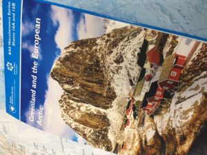
The combined map and information sheet – which has been released today – is aimed at all visitors to the Arctic, as well as anyone interested to know more about the region. It provides a wealth of easily accessible information about the processes driving environmental change in the Arctic; gives the latest on polar bear and walrus research; as well as insights into the key challenges facing the Arctic. It also includes the internationally-approved guidelines for visitors to the Arctic to help ensure that those coming to the region minimise their impact.
Head of the NERC Arctic Office, Henry Burgess, said:
“We know that people are fascinated by the beauty and fragility of the Arctic. But also that they want to better understand the environmental changes that are happening there and what they mean. By working with some of the best researchers and experts here and overseas we have created a straightforward and attractive information resource that will enable people to get behind the headlines. Whether you are visiting the Arctic or just want to know more, we think this will be a fantastic companion.”
The information resource includes contributions from WWF, Met Office, the Association of Expedition Cruise Operators, SPRI, NERC Changing Arctic Ocean Programme, UK Polar Network, as well as individual researchers across the UK.
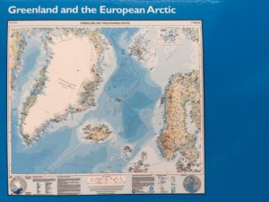

The map is available as either flat sheet or a folded map, through several outlets, including www.stanfords.co.uk and www.spri.cam.ac.uk/shop. For bulk orders, please contact the British Antarctic Survey directly.
Visit the BAS website for the full Press Release: https://www.bas.ac.uk/media-post/new-arctic-map/